This map was sponsored by the “Committee of ‘92” and created by Rand McNally as a guide to the city for attendees of the Eleventh International Christian Endeavor Convention in 1892. About 40 percent of the index on the right is transportation related – railroads and ship lines – and the rest is public buildings of various types, including touristy points of interest. There’s a list of hotels on the left, correlated with the states of the attendees, and a comprehensive set of instructiona on getting to Madison Square Garden, where the convention was held. All quite ordinary.

The peculiarities are all related to the state of Manhattan in 1892: modernizing rapidly but, as always, without a fully-realized plan. First, note the tiny blocks drawn in west of Riverside Drive from 71st street to 90th Street. Those did not exist then and never did. There may have been a few small industrial buildings there, at the base of the steep slope from the Hudson up to the Drive, but nothing very organized. Such an arrangement is not unheard-of – look at the Brooklyn Hieghts Promenade cantilevered over the Brooklyn-Queens Expressway and Furman Street for a current example – but they’re pretty rare. Part of having a park at the river is usually that it reaches the river.
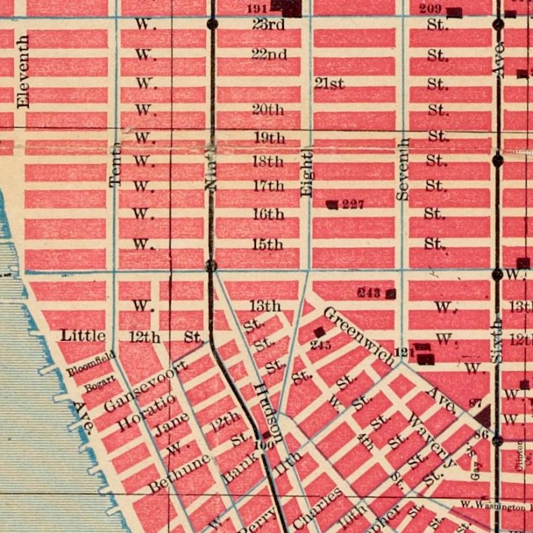
Thirteenth Avenue is there, extending from a rather abrupt edge of landfill at West 11th Street up to 23rd Street or so. The northern portion, from 14th Street up, got renamed as a southern extension of Twelfth Avenue, the southern portion and that landfill was removed to create piers, leaving West Street in that area back facing the river.
The four elevated lines are marked on Second, Third, Sixth, and Ninth Avenues, but it’s worth noting that every numbered avenue had a street car line south of 59th Street.
There were not yet continuous bulkheads along the water and in some cases some remnants of the natural shoreline still show, with the grid of streets and blocks laid over them: at 29th Street and the Hudson, or 38th Street and the East River.
There were not yet any tunnels under the rivers: the tunnel under the Hudson shown ending at Morton Street had been under construction for twenty years when this map was made and would be for another 15 before it opened as the first branch of the Hudson and Manhattan Railroad, now the PATH train. All those ferries on the Hudson were taking people from rail terminals to Manhattan. There was one bridge other than the little ones over the Harlem River (not visible here because the conventioneers were not interested in the far north of the city), and since the Brooklyn elevated system isn’t shown, the links on the Brooklyn Bridge are not shown.


You must be logged in to post a comment.