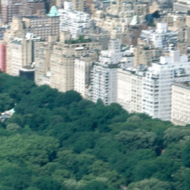
I’ve met a lot of people who have not been to New York who think that Central Park is like a London square, a block-sized oasis surrounded by buildings. The “surrounded by buildings” part is correct, but the size is a bit off. It’s 1.3 square miles (3.4 square kilometers for people who sue more rational units) which is put into perspective by the fact that all of Manhattan is less than 23 square miles. You can only really get a grasp of its size relative to the city from the air, as in Carol Highsmith’s 1980 view:

This is a view from just south of the park, probably taken from a plane or helicopter given the height and year. We’re looking north, with the Upper West Side on the left, the Upper East Side on the right, Harlem north of the park and the Bronx in the background. The treed area past the UES is Randalls Island; the water is the East River and beyond that to the right is Queens. The same view today would show considerably more dense development on the UES, in Harlem, in Queens, and in the southern tip of the Bronx. In any case, this angle distorts things, compressing the northern reaches of the park. The big open field full of sunbathers is the Sheep Meadow, which is south of 70th Street and so in the southern twenty percent of the park. The big building in the park facing Fifth Avenue – the righthand edge of the park – is the Metropolitan Museum, which runs from 80th to 84th Streets, and so is at roughly the north-south midpoint.
While you can see some buildings from much of the park if you look in the right direction, it’s also big enough that you can get truly lost. In my opinion, that’s one of the best aspects of going there. On other other hand, finding all of our projects in the park can be a chore.


You must be logged in to post a comment.