
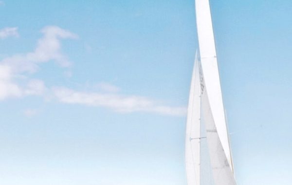
At first glance, that’s a picture of an elevated train passing over an unused railroad trestle. If I mention that it is in southern Queens, it’s easy enough to identify it as the A train passing over the former Rockaway Branch of the Long Island Railroad. The A train, as such, was created with the opening of the IND subway in 1932, and had Chambers Street in Manhattan as its southern terminal. The A was extended in stages into Brooklyn, heading east and south. This elevated line was built as an extension of the Fulton Street Elevated by the BMT and opened in 1915, connecting southeastern Queens to downtown Brooklyn. In 1956, the A train was extended by capturing a chunk of the old elevated rather than by building a new tunnel. In other words, the A train in Brooklyn was largely a subway replacement for the Fulton Street elevated train, but in Queens the old elevated was kept in place.
The Rockaway Branch is a little harder to explain. Long Island’s south shore is a series of barrier islands, separating the Atlantic Ocean from various inland bays. The westernmost barrier “island” is actually a peninsula, the Rockaways, separating Jamaica Bay from the ocean, and meeting the Long Island mainland at the peninsula’s east end. Trains from the western terminals of the Long Island Railroad – from Penn Station in Manhattan, Atlantic Terminal in Brooklyn, or Hunter’s Point in Queens, have to make a big loop south and east around Jamaica Bay to get to the Rockaways. The current LIRR service to Far Rockaway (the east end of the peninsula) does just that. In 1877, a shortcut was built, allowing trains to cross a trestle over Jamaica Bay directly to the Rockaway peninsula, cutting an hour of travel time to the beach. This shortcut ran south from the Queens mainland across the bay, stopping at the island community of Broad Channel before reaching the beach; tracks there went east-west along the peninsula and met up with the long looping route at Far Rockaway. The structure seen above is 1940s concrete construction to replace the earlier wood and earth structure.
Improved travel to other beaches and the proliferation of other options for summer amusement doomed Rockaway as a tourist destination, and the rail traffic decreased. At the same time, the maintenance costs for the bay trestle were high. The railroad wanted out and the city government wanted subway service to the Rockaways, so the line was disconnected from the LIRR and connected to the subway, becoming a branch of the A train. A short curved track was built connecting the north-south portion of the rail line to subway, south of the intersection in the picture above:

The northern portion of the old LIRR right of way is sitting there, slowly decaying, with the space below the elevated tracks used by various small businesses. There’s a proposal to make it into the Queensway – a less urban version of the High Line – but it’s hard to see how the low-density, out-of-the-way location could support that idea. A more utopian idea might be to reuse it for transit, given that Queens is desperately short on north-south connections other than buses. As this map shows, southern Queens could be connected to the trunk subway below Queens Boulevard.
Mass transit in general, and subways in particular, can be expensive to build. The reuse of existing rights of way and structures makes construction less expensive, as well as far less disruptive to the surrounding communities.

You must be logged in to post a comment.