
Gothamist has been running a series with old documents from the NYPL. My favorite was the map of the IRT subway in 1908, with the first stops in Brooklyn and two branches uptown. A few years later, the subway map would become much more complicated as the Dual Contract expansion started.
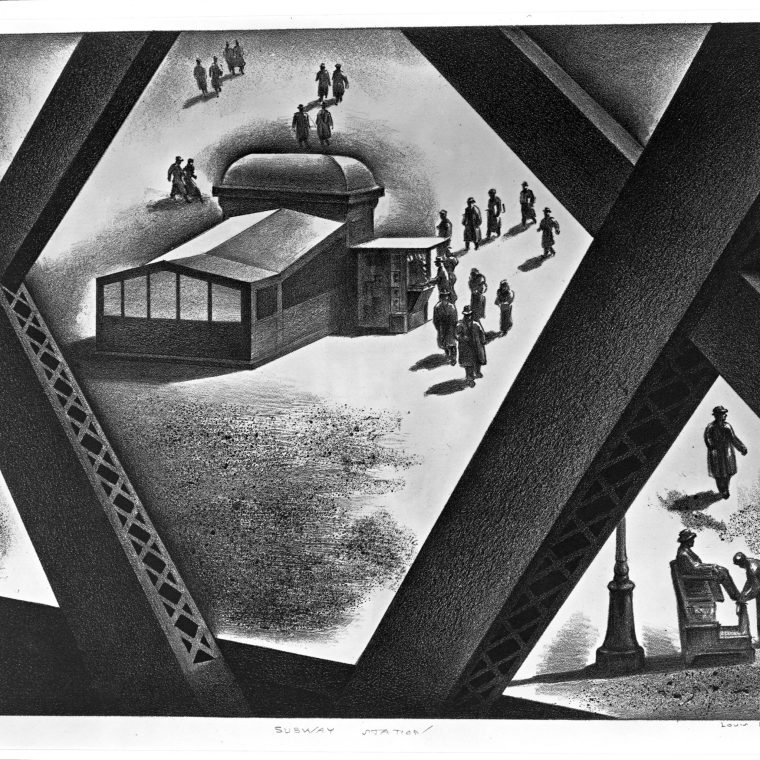
The picture above is “Subway Station” by Louis Lozowick, created in 1936 as part of the WPA art project.