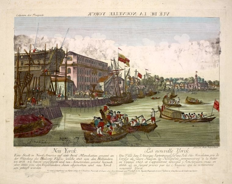
The “Vue de la Nouvelle Yorck” is listed at the New York Public Libarry as being probably from 1775. It’s definitely from that era, just based on the ships, which are far more accurately drawn than the buildings are. A lot of these illustrations appear to have been made by artists who had never visited the city and were relying on written descriptions. This busy waterfront has to be the East River, which is where the commercial docks were at that time. The big ship on the left is in some kind of inlet and it looks like the shoreline bumps out further to the right. If this is the Manhattan side of the East River, off to right is further north.
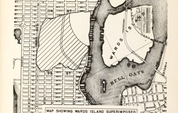
Here’s a map from 1775 for comparison:

Zooming in on the East River waterfront, the inlet could be the “wet dock” at the foot of Broad Street, and the shoreline bump the curve near where “This overflow is constantly filling up in order to Build on”, just past where the built-up portion of the city ends on the right. Or it’s all speculative. It’s not like someone took photos on their phone and instagrammed them to the artist.

The German and French at that bottom is a bullet-point history of the city and hardly worth reading. As for the “Yorck” spelling, I’ve seen it before.

You must be logged in to post a comment.