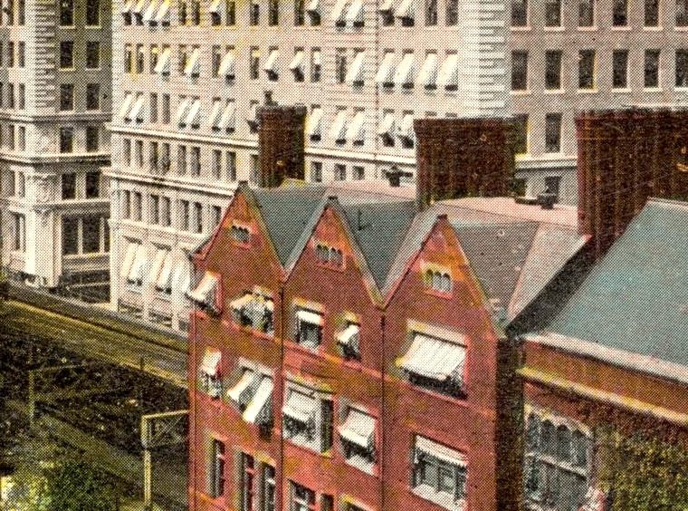

From 1914, a postcard misnamed “Hudson Terminal Building.”

It’s misnamed because those are two buildings, each of which had deep light courts on their north and south sides, making them look from many angles like four buildings. Here’s a 1916 map:

The pretty curved title “Hudson & Manhattan R. R. Terminal” refers to the train tracks and platforms below, in what is now the PATH train World Trade Center station. The Fulton Building is the north H&M terminal building, and the smaller of the two: the angle of the postcard above only makes sense if we’re looking from the west to the back of the two terminal buildings. The bigger Cortlandt Building is closer.
(Not directly related to the topic at hand, note that Church Street, the street running up and down the page just to the left of St. Paul’s Chapel’s graveyard, has the BMT subway (now the R train) underneath it and the Sixth Avenue elevated above, and Greenwich Street a block to the west has the IRT subway (now the 1 train) underneath and the Ninth Avenue elevated above.)
A second postcard, from 1909 and titled correctly, is more mysterious:

The Fulton Building is nearer to us, so we’re looking from the east, or more like northeast. You can see the el tracks above Church Street in the left foreground; the center and right foreground is the Trinity Church Vestry Office. Literally everything you see in this photo other than the trees in the St. Paul’s graveyard at the bottom left has been demolished, replaced by the AT&T Building and the World Trade Center.

You must be logged in to post a comment.