
A minor example of a common trail for building research:
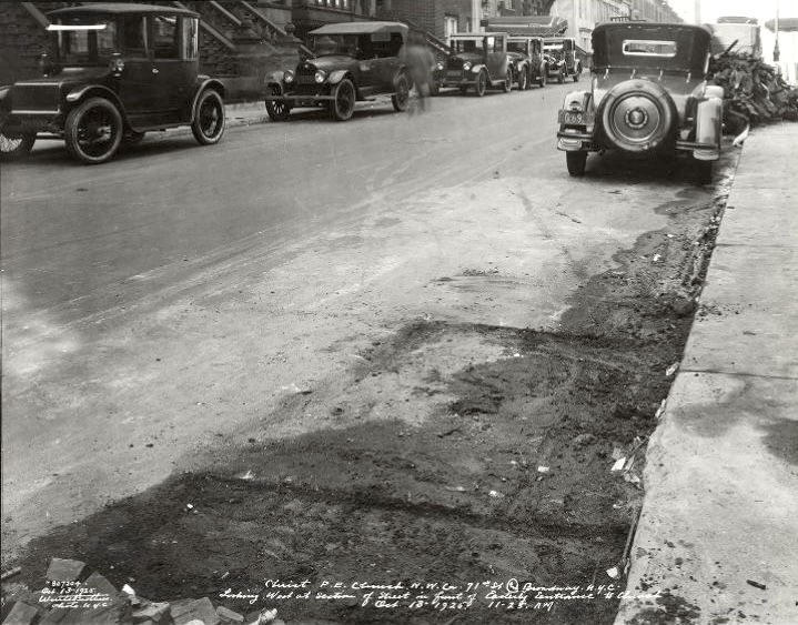
Starting with a Wurts Brothers photo of a street…

Note the stone slab sidewalk on the right. The old cars are nice, but I know nothing about cars. The writing at the bottom is legible if you’re patient (or, like me, can pretend to be patient): “Christ P.E. Church N.W. Cor 71st St @ Broadway. N.Y.C. Looking West at section of street in front of Easterly Entrance to Church. Oct 13 [or maybe 18] 1925. 11-25. AM”. Okay, the first thing I did was go to see if that church is still there – I don’t remember a church at that intersection, but you always check.
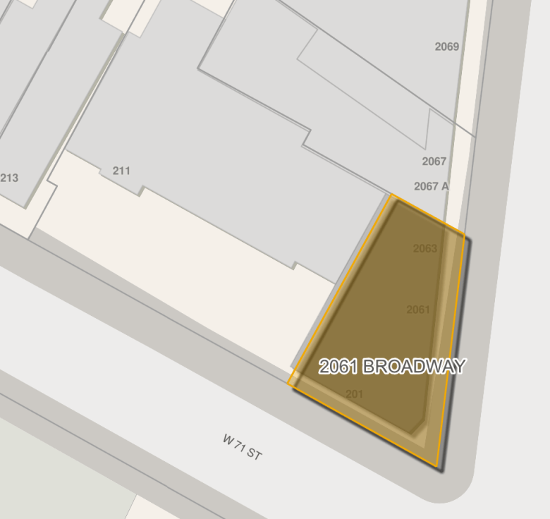
The city’s official map has 2061 Broadway listed as having been built 1925 (and 211 West 71st Street behind it in 1986), which does not easily fit with the photo caption. The 1923 Bromley fire map

shows pretty much what you’d expect for a church. The 1930 map shows a truncated church and an office building.

If you’re wondering what that looked like, here are the 1940 tax photos, first looking west at the Broadway side of the original church site:

and then looking northeast at the truncated church and the back of the new office building:

The church was still there in 1955, and I’m guessing was torn down shortly before the apartment house that’s there now was constructed in 1986. What did the church look like before the east end was chopped off? Looking west across Broadway:


You must be logged in to post a comment.